ATW 2024: Using Satellite Earth Observation to improve or streamline agricultural processes
 ADAS
ADASAgri-TechE Week 2024 celebrates its 11th year – our largest yet, featuring eleven events curated by Agri-TechE and hosted by our incredible member community. This week exemplifies innovation, collaboration, and forward-thinking in agri-tech.
Each event reflects the strength of our ecosystem, fostering vital connections between growers, researchers, and technology developers. Thank you to our members for hosting and making Agri-TechE Week possible and showcasing what our community can achieve. Here’s a look at today’s event!
Satellite Earth observation is transforming agriculture by optimising farming practices, improving crop yield predictions, and supporting sustainable land management. During this online Agri-TechE Week event delivered by ADAS, three experts showcased how satellite data is streamlining agricultural processes, from improving harvest predictions to monitoring land use.

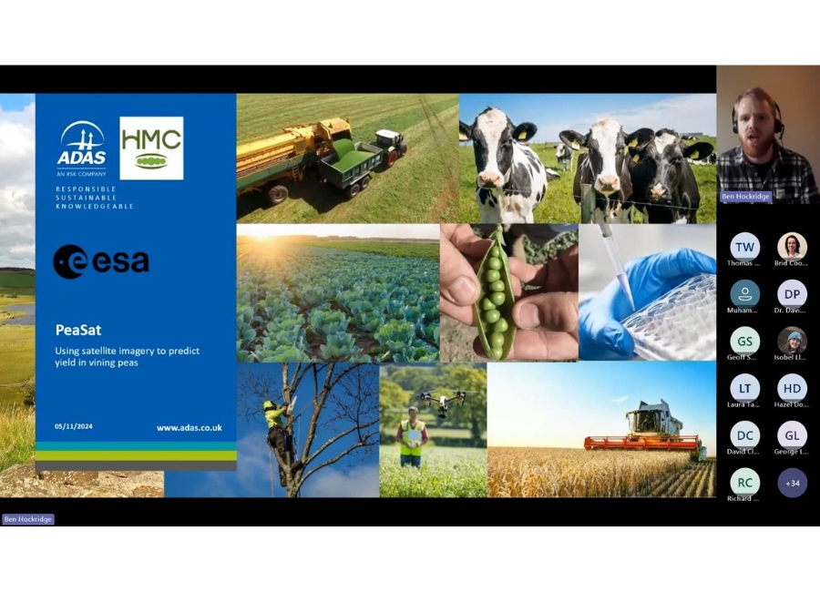
Ben Hockridge: PeaSat Project and Vining Pea Yield Prediction
Ben Hockridge from ADAS presented the PeaSat project, a European Space Agency-funded initiative aimed at improving vining pea harvest management.
Vining peas have a narrow harvest window, often causing growers to bypass around 7% of their crops.
Using satellite imagery, weather data, and machine learning, the project developed models to predict yields with greater accuracy. The best model achieved an R-squared of 0.71, and future plans include refining these models and developing a user interface to improve communication between growers and processors.
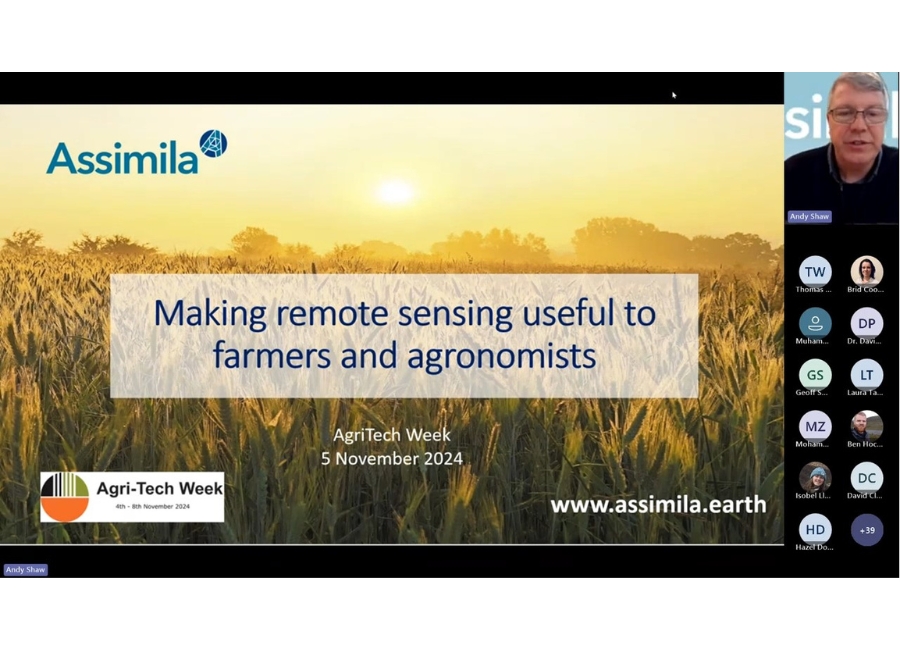
Andy Shaw: making remote sensing practical for farmers
Andy Shaw from Assimila highlighted how remote sensing and satellite imagery can address challenges like carbon management and sustainable farming. He discussed their work using satellite data, soil information, and crop models to improve nitrogen use efficiency.
By optimising fertiliser application, farmers can reduce costs and environmental impacts. He stressed the importance of making these insights actionable and accessible, using data integration to guide better decision-making in the field.
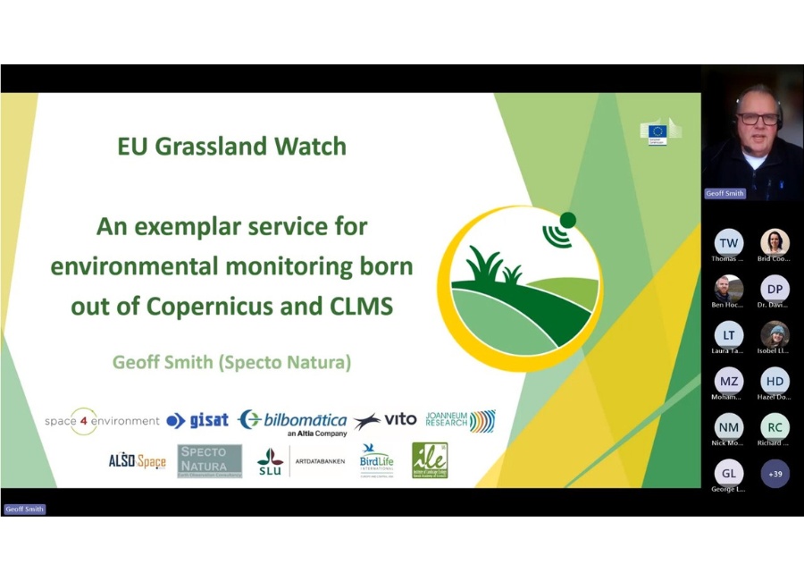
Dr Geoff Smith: EU Grassland Watch and grassland monitoring
Geoff from Spectro Natura introduced the EU Grassland Watch project, which uses satellite data to monitor grasslands in protected Natura 2000 sites. By tracking grassland conditions over time, the initiative helps assess the health of these areas and track environmental changes.
The project combines satellite imagery with geospatial data and digital models to provide users with detailed, real-time insights into grassland management practices. The service is designed to be accessible to users with limited remote sensing expertise.
Q&A and final remarks
During the Q&A session, presenters discussed project timelines and data availability.
Andy Shaw noted that their nitrogen use efficiency project is in its second year, with opportunities for farmers to participate in trials. The rapid advancement of satellite technology, especially since the launch of Sentinel satellites in 2014, was also highlighted.
These developments have greatly expanded the capabilities of Earth observation, making satellite data more accessible and valuable for precision farming.
Related Posts
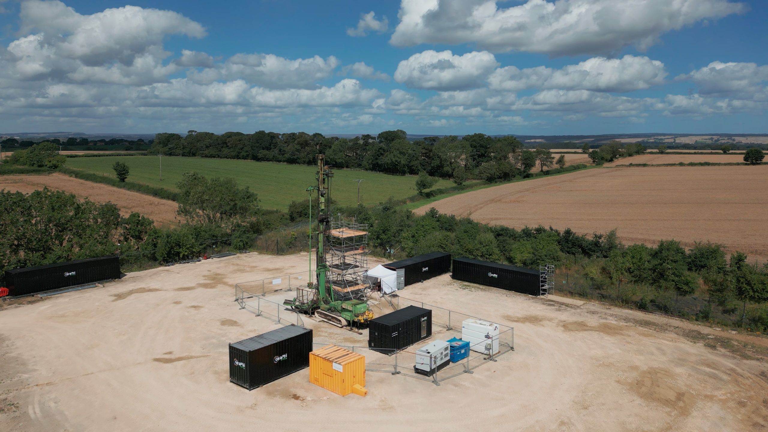
CeraPhi Energy Acquires former fracking company Third Energy Onshore Ltd

Nano Electronic Services: Thinking differently about electronics manufacturing
Farmer Charlie brings digital agriculture to South East Asia

Hummingbird Technologies launched at REAP Start-up Showcase attracts funding from BASF and TELUS Ventures

ClearSky technique to overcome cloud cover issues