Satellites for agriculture explained in new report
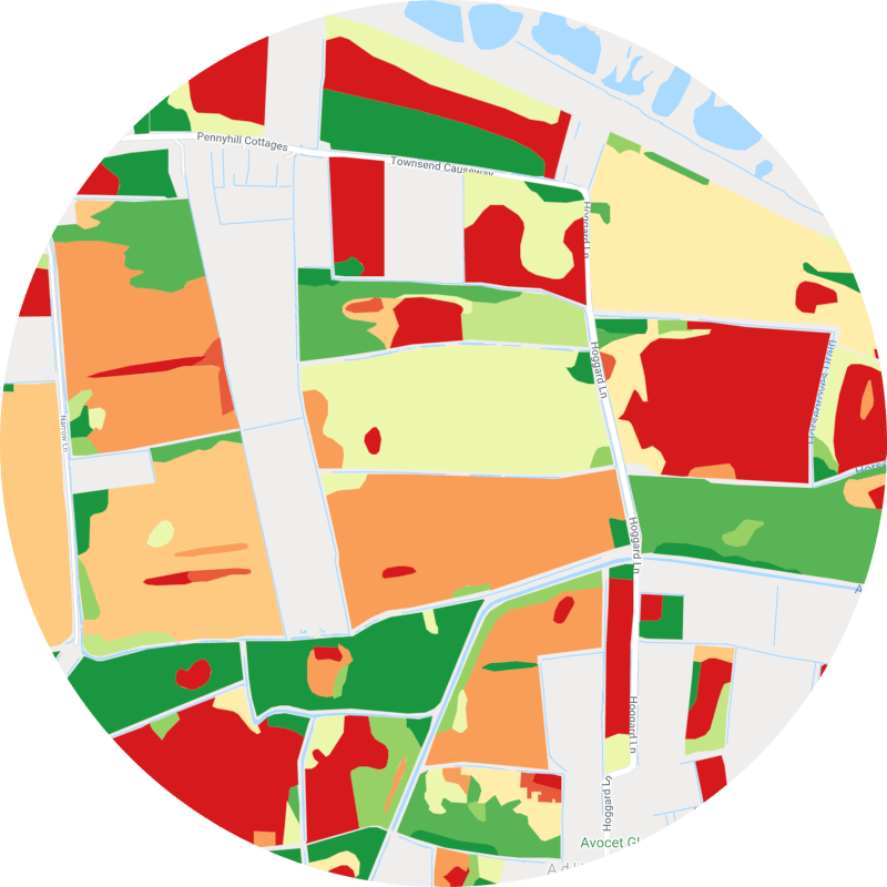
Satellite Earth Observation is a form of remote sensing that uses a number of satellites with different instrumentation to provide information about the Earth’s surface and atmosphere from platforms up to 36,000km away in space.
AHDB and the Satellite Applications Catapult, have collaborated on a report which gives a helpful overview of the potential applications of this technology and the opportunities available to farmers and growers from the space sector.
Satellites can assist growers with:
- Detecting and controlling pests and disease
- Understanding water and nutrient status
- Planning crop nutrition programmes
- Informing in-season irrigation
- Predicting yields
- Estimating harvest timing
A new breed of non-traditional agricultural businesses proposing advanced data-intelligence capabilities to farmers are emerging and challenging the more established agronomy, precision farming and farm management businesses. These companies are adapting developments in computer vision and big data analytics to harness this surge in data availability to increase the speed, quality and variety of products and services available to farmers.
Added value services
- Real-time updates on current field, soil and crop conditions
- Real-time decision support (eg when to irrigate)
- Precision profit mapping
- Disease and pest identification
- Immediate alerts to canopy conditional change (eg water stress)
- Harvest forecasting
- Hyper-localised weather
- Fleet management and performance tracking
- Animal tracking and monitoring
- Enhanced field planning – eg field profiling and variety selection
- Visualisation and augmented reality to enable direct in-field assessment of live operational
and historical issues
Current UK market leaders exploiting EOS data for in-season agricultural decision support are advertising average yield benefit of between 3 and 8% over the farmers’ traditional best practice when used for input applications.
The report is available to read here.
Post Overview
Related Posts
Iceni Diagnostics appoints BBI to produce its Covid-19/Influenza test

Could digestate save you £110 per hectare on fertiliser inputs?
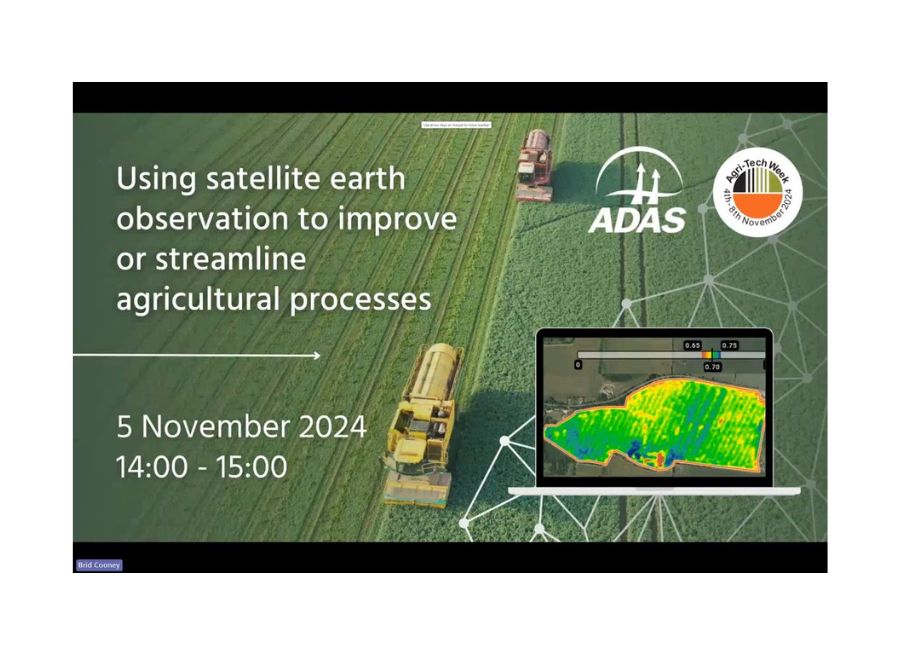
ATW 2024: Using Satellite Earth Observation to improve or streamline agricultural processes
REAP 2020 Start-Up Showcase: Mantle Labs
Young Innovator’s Forum: Stephen Temple’s Anaerobic Digester