After the flood making information beautiful
 To survive in a complex world humans have evolved the skill to extract information quickly from patterns. This ability is exploited by infographics, graphics that display data as pictures. Familiar examples include the London Underground map, which supports navigation, and the Met Office maps, which allow weather prediction.
After the flood is now taking this type of data visualisation to a new dimension with artificial intelligence. It takes insights from multiple interactions (people-machine and machine-machine) and displays the findings as deceptively simple dashboards.
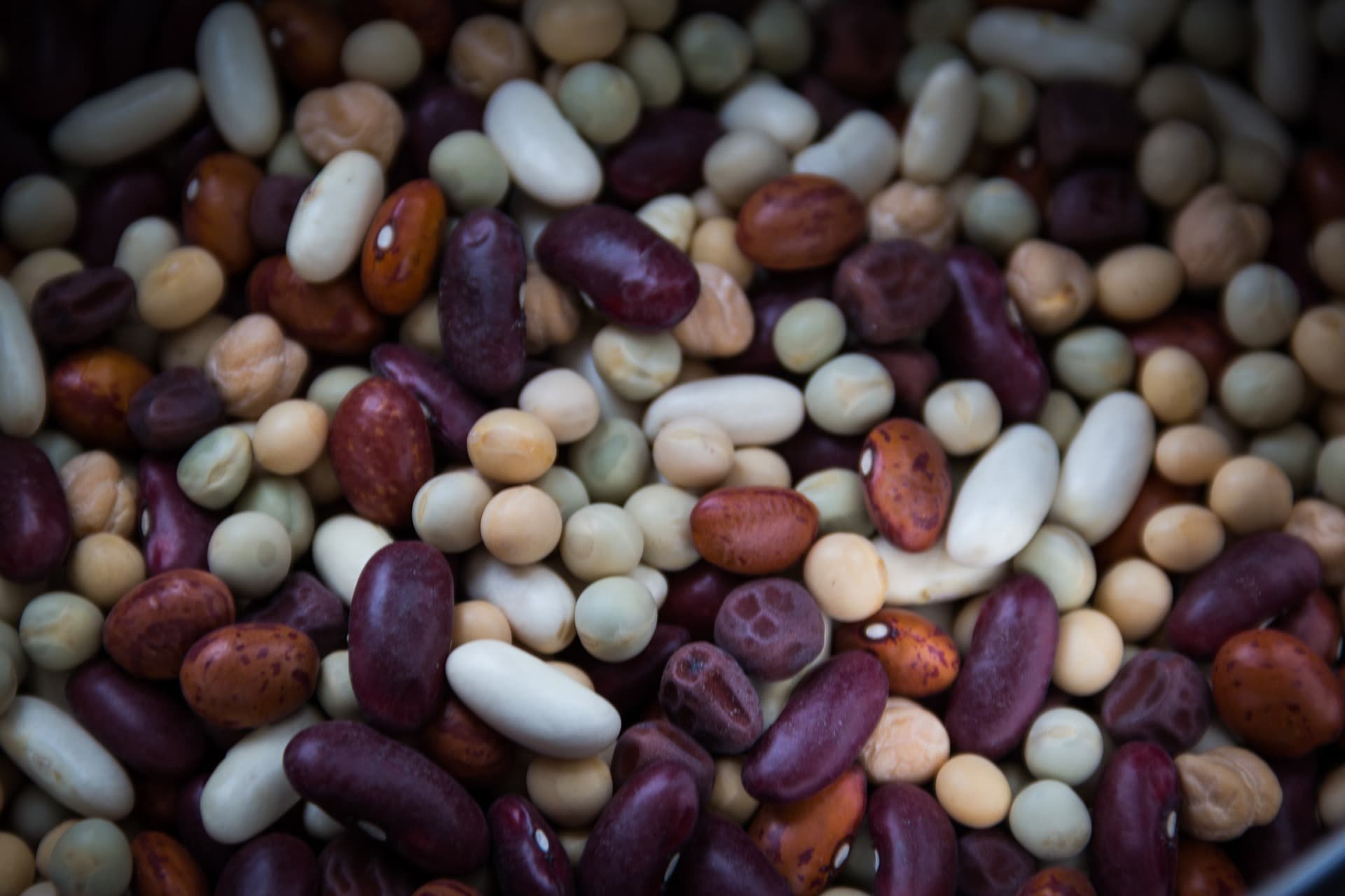
Personalised food production
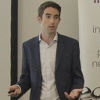
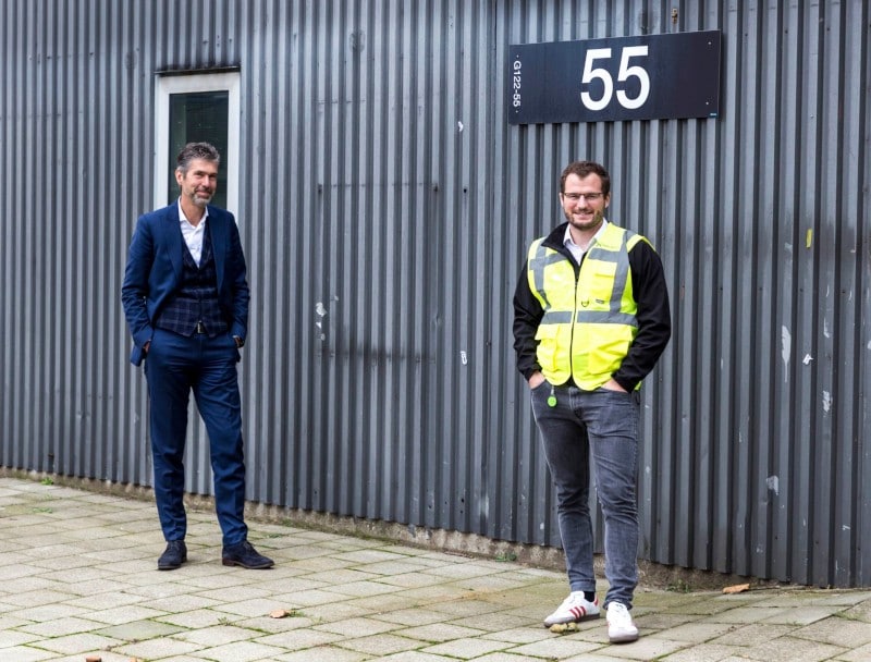
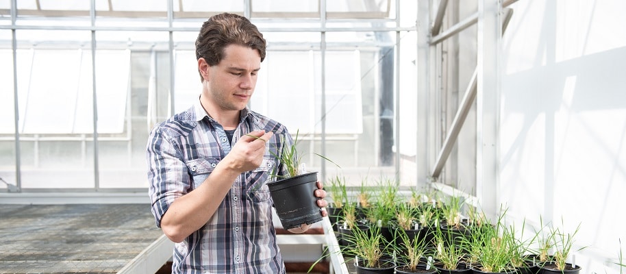
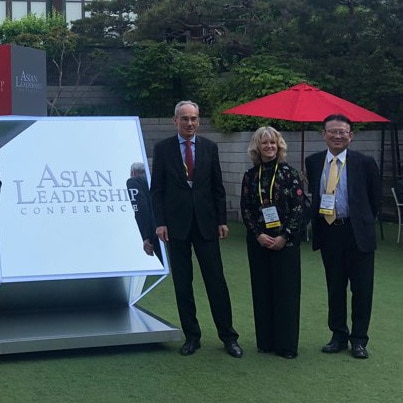
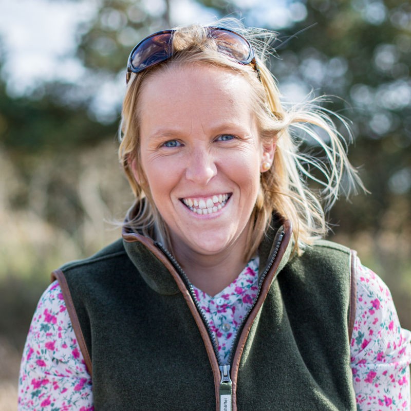
After the flood’s Chairman Nick Cross (pictured right), who also manages his family farming business in Suffolk, explains: “Traditional data analytics are based on collecting data and then providing retrospective insights.
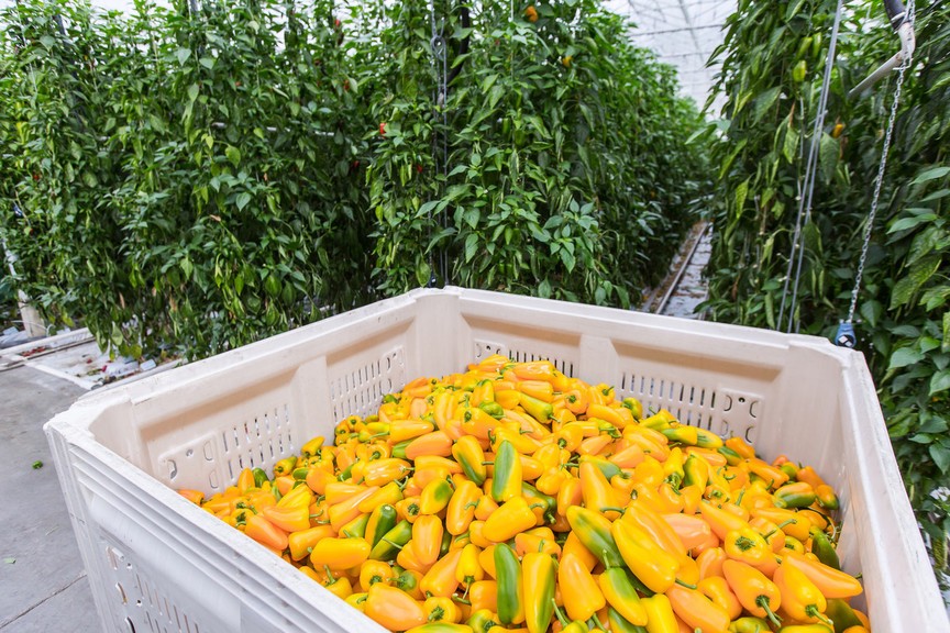
“We are moving into a new era of active data that uses real-time data to provide intelligent services. Perhaps there will come a time when food production will be personalised!”
Instead of creating static images using historical data, After the flood creates a dynamic interpretation of live data. This allows fast reactions and the ability to create systems that learn from experience to respond to changes in their environment.
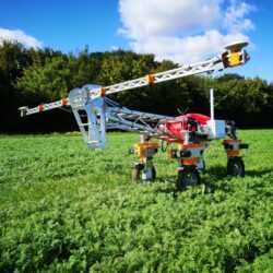
Within agri-food this could be using customer buying behaviours to predict demand for perishable goods, or monitoring fungal spores and weather conditions to allow preventative, precision spraying.
Nick continues: “I think there will be exciting opportunities to create intelligent data flows between customers, stores and the producers themselves, allowing farmers to be more responsive to specific consumers’ tastes and dietary needs.”
Information is beautiful
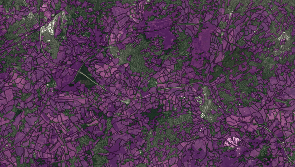
After the flood has won an ‘Information is Beautiful’ award for its London Squared Map (see below)

In partnership with Future Cities Catapult, After the flood turned London’s boroughs into a choropleth – or series of shaded cells – that can contain numerous types of data more effectively than a traditional geographical map.
The London Squared Map allows data to be compared across boroughs very easily, and governmental and other agencies are able to edit it to create their own versions for their web pages; for example the London Fire Brigade is one of several organisations that now use it. Some versions even place Instagram images inside the squares.
Managing for the public good
Nick says: “Who knows how the application of AI will really play out with farmers at the sharp end. If you go back 15 years or so, few people would have predicted the impact of cameras on mobile phones and how this has changed the way we live and interact.
“There is already a lot of noise about the role of AI in developing efficient crop production techniques.
“My guess is that there will also be exciting opportunities as farmers take on the challenge of managing land resources for the public good – because we will have to develop a much more sensitive, localised and dynamic picture of the impact we’re having on things like soil, climate change and invertebrates.”
Find out more
Nick Cross will be presenting at the Agri-TechE Pollinator “The AI’m of machine learning in agriculture” on 20 February 2018 at The Sainsbury Laboratory, 47 Bateman Street, Cambridge, CB2 1LR.
Post Overview
Related Posts

Weatherquest advises growers

Farming Data, winner of GROW 2017, reports business progress

Map of Agriculture predicting the market

For greatest impact we need to be looking at data at scale – fieldmargin
Hummingbird Trinity drone offers improvements to data capture

 Jamie Lockhart is entrepreneurial, with an interest in working with other businesses to share the benefits of spreading costs and using resources in new ways. He explains how he became involved in a pioneering trial on the farm.
 The trial aims to demonstrate the mutual benefit for both arable and grazing enterprises of grass in the rotation, and is being conducted by Brown & Co in partnership with AHDB, NSA and Frontier Agriculture Ltd.
 Note: Honingham Thorpe Farms is hosting a trial to demonstrate the benefit of introducing sheep into arable rotations for both the grazier and arable farmer. The trial is being conducted by Brown & Co in partnership with AHDB, National Sheep Association (NSA), the Organic Research Centre (ORC) and Frontier Agriculture Ltd. This project has received funding from the European Union’s Horizon 2020 research and innovation programme under grant agreement No 679302, as part of the Innovation for Sustainable Sheep and Goat production in Europe project (iSAGE – www.isage.eu).


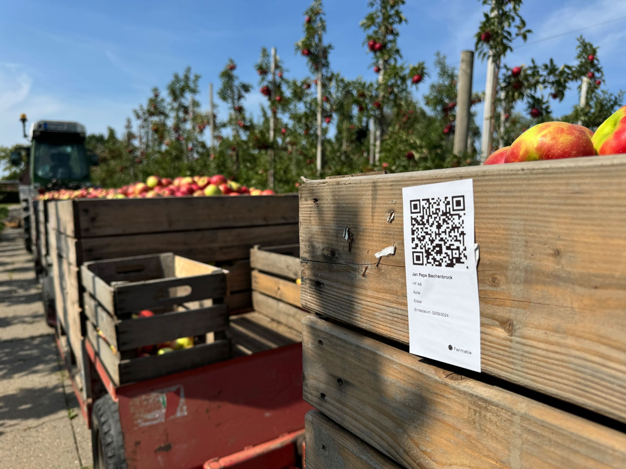
 Connecting Food is developing an authentication system based on block-chain technology that would allow food operators to get real-time insight into whether a given product meets End Product Specifications (EPS).


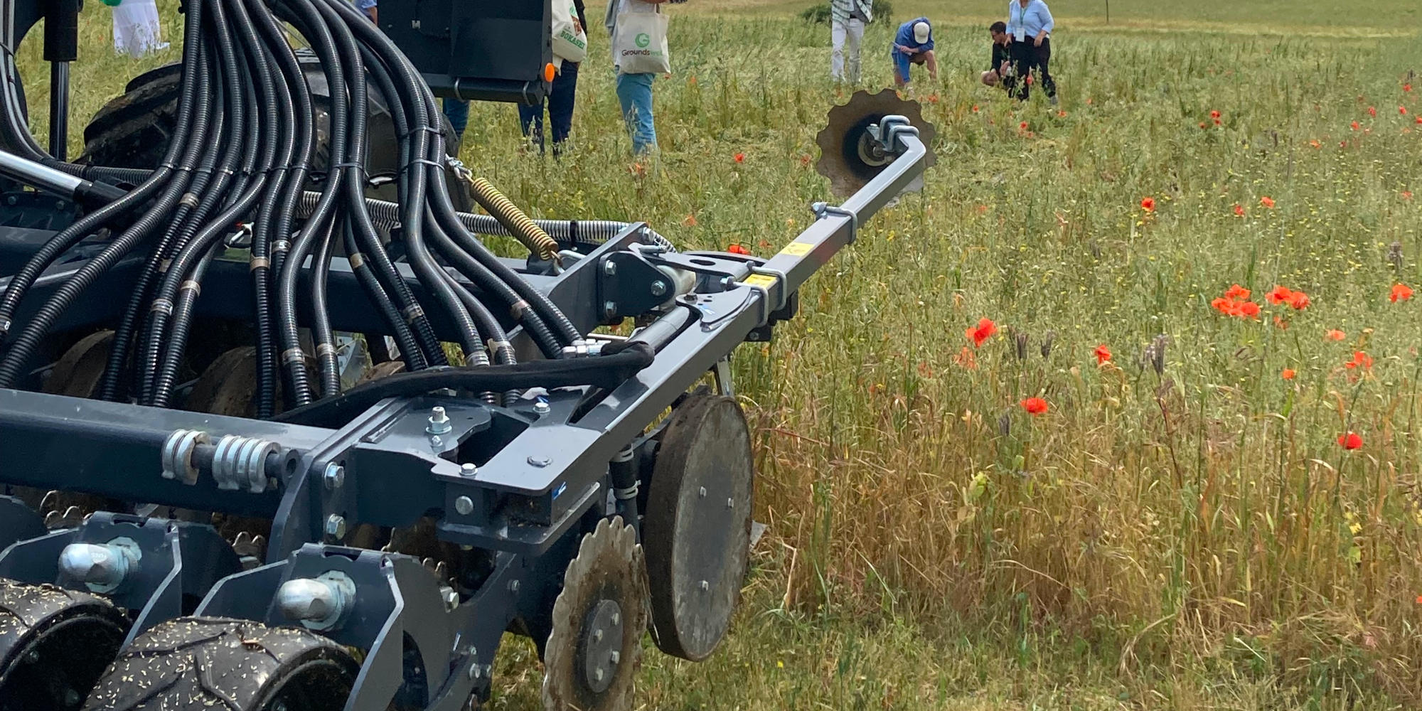
 Tillage practices – ploughing operations that disturb the soil – affect soil carbon, water pollution, and farmers’ energy and pesticide use, and therefore the approach to cultivation can have a major impact on the environment and also the productivity and profitability of the farm. Taking a big picture view of tillage can be valuable for challenging the perceived wisdom of current practices and creating the opportunity to ask if there are valid alternatives.


 “Marks & Spencer has a


 Express Weather has developed a decision support system called Farmneed that quantifies weather risk in agriculture.
 Angshujyoti Das, founder of Express Weather, explains:
 To ensure the accuracy of their guidance, Express Weather has collaborated with centres of excellence in India, who have provided weather related risk knowledge during life cycle stages of particular crops.
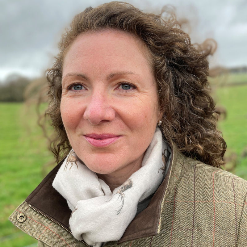
 A recent report released by WRAP estimates that around nineteen per cent of all lettuces were unharvested in 2015, with 38,000 tonnes lost across the sector worth an estimated £7million. To ensure that supply meets demand the industry overproduces, this partially due to uncertainty over weather conditions, but also as a result of specifications over the desirable ‘head size’.
 Salad consumption is highly variable depending on weather – a ‘barbeque weekend’ will boost demand and a wet one depress it. The maturity of the lettuce head is another variable: there is only a short time when it achieves the quality requirements of the supermarkets; if the head is too developed it will not have the required shelf life.


 Throughout its two-and-a-half year history, 30MHz has worked within several industry sectors, including monitoring damage on mooring posts for the port of Amsterdam, and monitoring occupancy and people flow in the Van Gogh Museum.
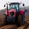
 “Yield mapping is now cheap as chips, and you can’t buy a combine without it. It’s a really accurate technology – for a narrow width it takes readings every couple of seconds. It’s the most precise record you can make and extremely worthwhile” says David Purdy, Territory Manager at John Deere UK. He believes precision farming is critical to improving profitability for farmers.
 The integration of sophisticated technology into farm equipment is enabling the company to provide intelligent data-backed services, for product support.
 A lack of interoperability between some technologies is a point often raised by farmers. Although there have been some integration of farm management systems – there are many issues.