Inspirational thinkers share their views of different aspects of agri-tech.
Agri-TechE Newsletter
Get the latest agri-tech news, events and opportunities direct to your inbox
RedBite brings IoT to agriculture
Meet the Network
Agri-TechE
RedBite Solutions, a spinout from the University of Cambridge, presented at the Internet of (Agri-)Things Pollinator in February.
RedBite has developed track and trace technology that can manage large networks of data-capture devices in fields, greenhouses, packing houses and is based upon globally recognised standards for radio frequency identification (RFID).
Adrian Segens of RedBite explains: “Automatic identification technologies like RFID and QR codes mean that vital data can be captured easily, quickly and without human error. However, industries such as agriculture are not well supported by conventional IT which uses WiFi and on-premises servers.
“Our technology enables readers to store data so that none of the data they have captured is lost and instead can be uploaded when they do come within range of a network, either wireless or plugged-in to ethernet.”
The company is interested in talking to potential end-users about development of the technology.
Get the latest agri-tech news, events and opportunities direct to your inbox
New models help minimise water pollution and optimise yield
Meet the Network
Agri-TechE
Tools developed with French farms have been shown to model the effects of land-use on water pollution. Hutchinsons see a role in the UK to advise improved cultivation on a field level.
Our rivers and waterways are adversely affected by diffuse pollution. Although agriculture is not the only source of this pollution, according to DEFRA figures it does contribute approximately 60% of nitrates, 25% of phosphorus and 70% of the sediments entering our waters.
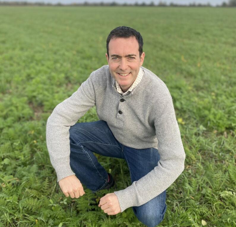
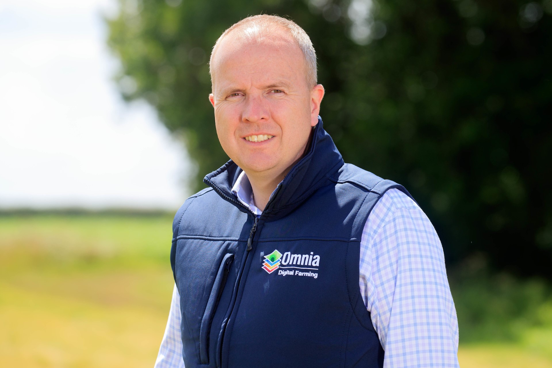
Jeremy Macklin, Director of Technology and Innovation at Hutchinsons, believes that tools developed from a nationwide project in France could help farmers in the UK reduce the amount of pesticides and fertiliser that is wasted each year and as a result improve water quality, improve food sources for pollinators and reduce Greenhouse Gas emissions.
Jeremy says: “For the last seven years I have been working with a French national cooperative organization, Invivo, which represents about 60% of French farming.
“In 2007 the French Government accelerated the implementation of the EU sustainable use of pesticides directive and this included a commitment to cut pesticide usage by 50%. This would have a major impact on agriculture without a strong evidence-base to suggest that this reduction by itself would improve water quality.
“So Invivo, together with three leading research organisations, created a national project to collect the data that is needed to model the impacts of different land use strategies on the environment.”
Jeremy Macklin, Director of Technology and Innovation at Hutchinsons
The consortium aimed to collect data on the agricultural practices which impact water pollution, greenhouse gas emissions and bio indicators to measure food availability for pollinating insects.
Invivo worked with a network of 30 cooperatives from different parts of France, covering 265 farms and 17,000 hectares. The farms were representative of their regions and detailed information was collated about their agronomic practice. This information was fed into models which allowed data about volumes of escaping pesticides and nitrates to be cross-referenced with agricultural productivity.
The results from a sample of the farms, analyzing 250 fields of winter wheat, showed that those fields with lowest level of pesticide in the water also had a 6% increase in gross margin, showing that the pesticide had reached the target rather than being wasted. This was also true of the contribution to Greenhouse Gas emissions from fertilizer usage.
The model showed that it was possible to create predictive recommendations for farmers.
Jeremy explains: “The interesting aspect of the model is that it offers a win-win situation for farmers, the environment and the water companies.”
Hutchinsons are working with a number of organisations to pilot the tools developed in the French project and adapt them for use in the UK.
If you are interested in water management then do get involved in our Water for Agriculture SIG, register your interest with the contact form.
Post Overview
16th December 2014
Agri-TechE
Agri-TechE Article
Soils and Water Management
Share this Page:
Related Posts
Reward farmers for building soil fertility, says Andrew Blenkiron
Get the latest agri-tech news, events and opportunities direct to your inbox
Ursula presents at REAP
Meet the Network
Agri-TechE
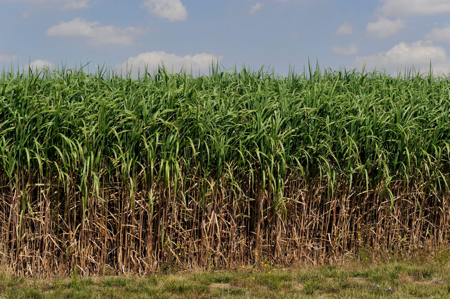
Black grass management is a hot topic at the moment and one in which precision agriculture is crucial.
URSULA Agriculture was one of the companies in the REAP Start-up Showcase it uses remote sensing for, among other things, to generate black-grass maps for growers.
These accurate maps pinpoint infestations mid-season enabling farmers to mitigate the problem through selective harvesting, or killing/burning off the worst affected areas to reduce the spread of seed.
URSULA’s detailed maps also enable a more proactive approach for the following season by re-orienting tramlines, re-planning drilling patterns and adjusting seed rates. The maps also help to target pre-emptive herbicide application with the worst areas being treated separately.
URSULA is continuing its research activity and is expected to widen its commercial Scout mapping tool to the mapping of black-grass in the autumn and winter periods when 80% of black-grass emergence occurs. Detecting black-grass at this time will reveal the effectiveness of pre-emergence control measures and inform post-emergence herbicide application in the early spring. By identifying residual pockets of black-grass and patch spraying rather than spraying the entire field considerable savings can be made.
Get the latest agri-tech news, events and opportunities direct to your inbox
KisanHub looking for input from farmers
Meet the Network
Agri-TechE
KisanHub, a specialist in the development of quantitative and data analytics tools, gained a boost in June when it became one of the first companies to be awarded a grant from the new Eastern Agri-TechE Growth Initiative.
The funding will be used to develop and trial a model that uses satellite data and meteorological information to make irrigation and fertiliser recommendations and crop yield predictions.
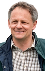
Giles Barker of KisanHub
KisanHub’s Giles Barker welcomed the grant saying that it could not have come at a better time: “The grant will fast-track our R&D satellite project and put KisanHub firmly on track to becoming a leading player in innovative software solutions in agriculture.”
KisanHub intends to release their dashboard in the Autumn and is currently looking for farmers, producers and agri-sector partners keen to influence development of this next generation of precision-farming decision-support tools.
KisanHub will be speaking at an Agri-TechE event on the 17th September 2014 more details coming shortly.
Post Overview
29th July 2014
Agri-TechE
Agri-TechE Article
Agri-Tech Adoption & Social Science
Share this Page:
Related Posts
Agri-Tech recognised as ‘Frontier Sector’ in Modern Industrial Strategy
Get the latest agri-tech news, events and opportunities direct to your inbox
Drones offer helicopter view of field trials
Meet the Network
Agri-TechE
HexCam aerial photography, based in Norwich, Norfolk provides unique aerial photography solutions and has seen growing demand from farmers and breeders for visualising field trials.
Elliott Corke says: “With our radio-controlled multirotor aircraft we can access areas that traditional photography just can’t reach. We can work safely anywhere from floor level to 120 metres altitude using our GPS assisted hexacopter or octocopter UAVs.
“Our hexacopter (official title: G-UAV0054) was built in Ireland and finished in Norwich. She contains some of the most up-to-date radio-controlled multirotor UAV technology, including autohover, GPS and failsafe return to base. Our octocopter, G-UAV0055 uses the same flight controller but can carry a higher quality camera.
”We have added some cutting edge imaging hardware to give us excellent HD video, still images and, soon, 3D imaging. Despite the small size we do not compromise on image quality. Both our multirotors can record continuously whilst on an operation to allow us to provide you with either unedited footage and stills or, for an additional fee, edited video”
This is an evolving technology area and Elliott is keen to talk to all parties in the industry to understand the requirements.


 Tools developed with French farms have been shown to model the effects of land-use on water pollution. Hutchinsons see a role in the UK to advise improved cultivation on a field level.

 Black grass management is a hot topic at the moment and one in which precision agriculture is crucial.