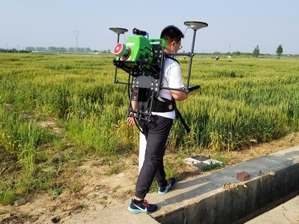
Skippy Scout ten times faster than field walking says Drone Ag
Drone Ag showcased Skippy Scout, its crop scouting app, at the 2019 Innovation Hub, before launching the app at Lamma in 2020, where it won the Gold Future Innovation Award. Since then, over 20 farms in Norfolk and Suffolk are using the app which automates drone flight to photograph broad acre crops. “The app is currently ten times faster than traditional crop walking methods and we intend to make it faster still as we develop the technology further,” says founder Jack Wrangham.
Image analysis of whole field in minutes
The first version of Skippy Scout could image crops and provide an accurate green area index (GAI) figure. The new version 2.5 offers field overview, automated scouting and PDF field reports using maps uploaded by the user, and images taken by the drone
“Our image analysis takes only minutes to provide an easy-to-understand report of the whole field,” says Jack.
The reports are generated using unique image analysis to flag up potential crop issues and can also be compared to satellite and yield maps to find correlations in field performance. “It also provides a breakdown with indicators for green area index (GAI), healthy and unhealthy crop cover percentage, weed percentage, and it gives an insect damage measurement,” he says.
Users can therefore identify crop issues such as weeds or pests more quickly by subsequently viewing the leaf level images on their phone or tablet. “Long term, the reports will also benchmark fields of the same crop to provide a picture of changes and crop progress over time,” he adds. The latest version of the app is also able to identify the development of specific crops such as oilseed rape (OSR). Skippy has been used to monitor OSR in much more detail this season. The aerial photos of the crop are interpreted by the software to establish GAI and even flower fractions. “‘Skippy can measure crop GAI in almost real-time and provide week-on-week tracking of changes, as well as measuring flowering fraction. Therefore, decisions on when and how much foliar nitrogen, and other inputs, to apply can be made based on crop progression indicators such as a GAI of 3.5 when flowering starts,” explains Jack.
Improvements and new features
Skippy Scout has been improved multiple times over the past sixteen months, with the optimisation of current features and the addition of new ones. These new features include more crop monitoring metrics within field reports, such as the aforementioned flowering fraction in OSR, and now a uniformity percentage for all crops that shows how even a field is overall.
At emergence, reports can now even provide plant counts per square metre in bean crops and cereals, with OSR to closely follow suit.
The addition of NDVI maps from the French start-up satellite data company, SpaceSense, now allows users to plan scouting routes based on up-to-date crop health imagery – and there are no plans to stop there…
The next six months are set to include updates in the form of flight route optimisation, speed improvements and even more analysis metrics (plus a few “revolutionary”, top secret features, coming soon).
Two hundred users
Drone AG is approaching two hundred users and Jack cannot see a reason why every arable farmer and agronomist would not want to save time by using Skippy and a drone to walk crops. He says: “It is cheap and easy to use so we expect user numbers to grow significantly in the next 12 months,” he says.
Existing users can update their app to version 2.5 for free now, and new users will benefit from all the additional features when they register. “It is easy to start using Skippy. Anyone who owns a drone can sign up online with monthly subscriptions starting from just £30,” concludes Jack.
Post Overview
Related Posts

The EU AI Act and Intellectual Property
REAP 2024’s eight picks for the future of farming: the start-up showcase is revealed

AI and robotics urgently needed to meet labour issues – but not yet magic bullet
ATW23: Explore first-hand how technology is at the root of vegetable consumption
Jonathan Gill: Hands Free Farm