GNSS developers target agriculture’s expanding precision ag market
The Royal Institute of Engineers (RIN) and Agri-TechE hosted a joint webinar to discuss the opportunities for GNSS technology developers in agriculture. Sophie Butler, content manager for Agri-TechE, reports.
Modern agriculture has become dependent on global navigation satellite systems (GNSS) for much of its operations, and as sensing technology, robotics and digital tools launch in the sector, the agriculture GNSS devices and services market is predicted to expand to around €23 billion by 2033. Agri-TechE, a not-for-profit agri-tech member organisation, hosted an online event to explore these opportunities.
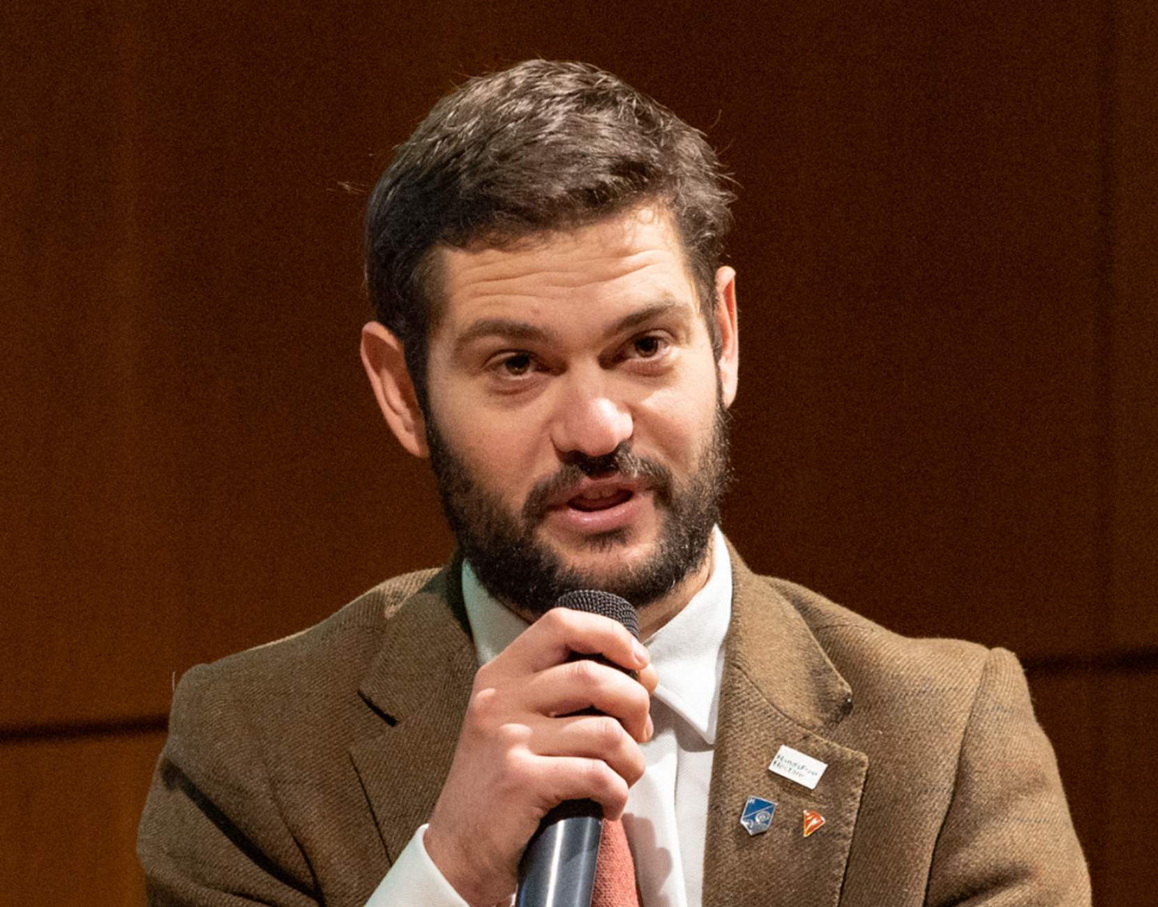
“In 2012, about 200,000 GNSS devices were shipped for the agriculture industry annually,” says Alex Schofield, PhD researcher at the University of Warwick and RIN representative at the event. “By 2022, this had grown to more than 1.3 million.
“A lot of the growth has come from commercial augmentation services. These are correction services that take a GNSS receiver from metre of accuracy down to centimetre level, which is the accuracy needed for robotics and precision agriculture.”
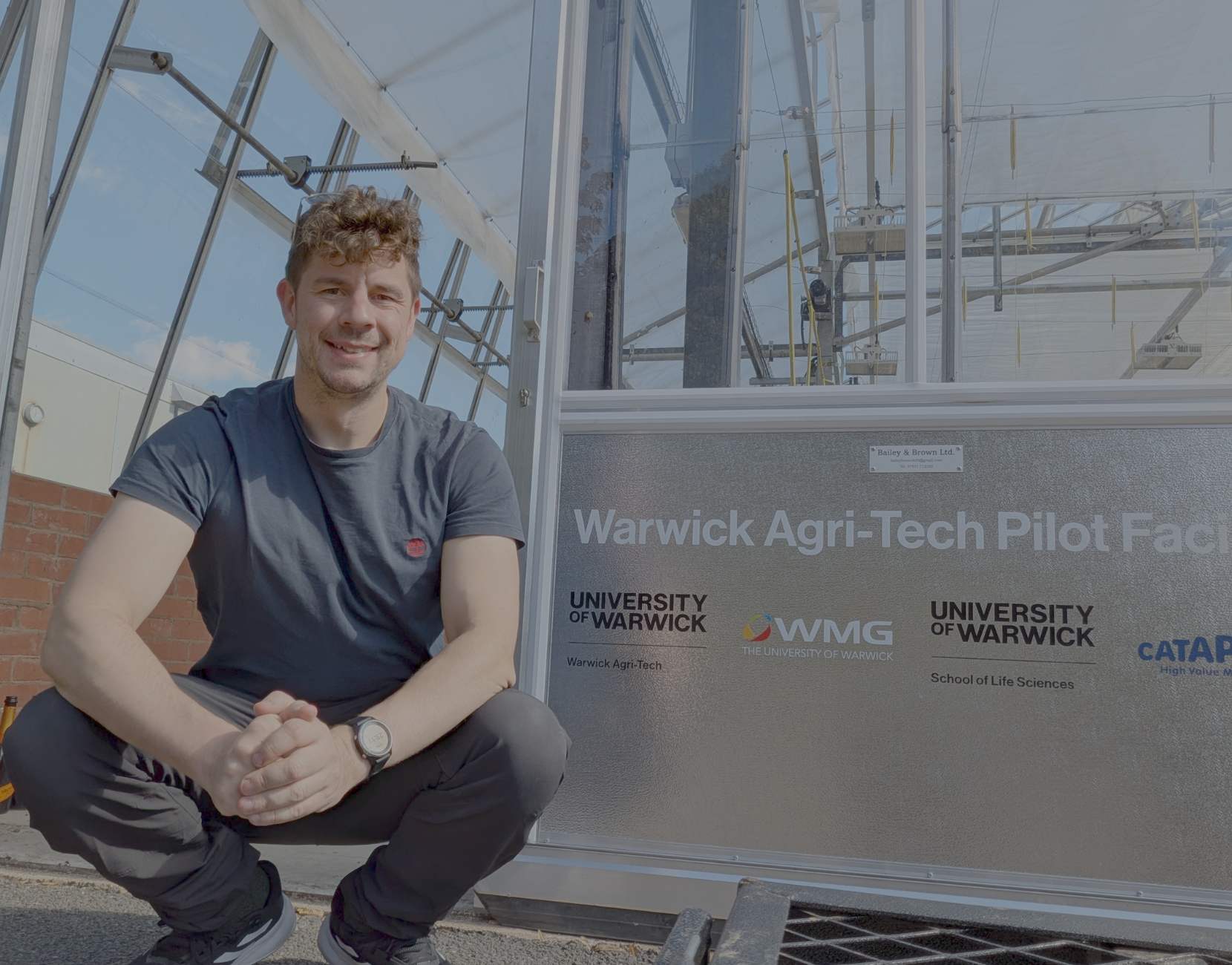
With fewer than 1% of the UK population involved in farming and a growing population to provide for, the industry has become more reliant on precision farming technologies to improve efficiency, says Kit Franklin, a senior engagement fellow at Harper Adams University and president-elect of the Institute for Agricultural Engineers. Added to this is the drive to produce more sustainably and with a lower carbon footprint, whilst facing the pressures of climate change in farmers’ day-to-day activities.
“Precision agriculture is one of the ways we are going to meet these growing climate challenges. This is the process of observing our fields, breaking them down into areas, treating the plants as individuals, and doing the right thing in the right place at the right time, in the right way.
“But you can only do these things if you know exactly where in the field you are, so GNSS is absolutely critical for precision farming,” Kit explains.
One of the earliest ways GNSS facilitated precision ag was by enabling tractor auto-steering systems. This provides savings for farmers by reducing overlap when working the fields and applying inputs such as fertiliser and pesticides. Kit estimates that 5-10% of crop inputs can be reduced using the technology.
It is this clear evidence of value to farmers that has driven significant adoption of GNSS guidance for tractors. Kit cites a 2019 study of American farmers estimating that 59% of the US corn crop in 2018 was sown using GNSS auto-steer.
“The next step is extrapolating the GNSS out of the tractor cab and onto the implement its towing. By doing that, we can turn on and off outlets from a boom sprayer or a seed drill to prevent overlap between passes.
Tools to measure soil and crop health at high resolution, enabling some of the next leaps in precision farming technology, all require GNSS to reference where in the field the data was recorded.
“Once you have determined the health of your crop, you want to tie that to a location so you can understand how it looks overall and how to treat it in a more precise way,” notes Kit.
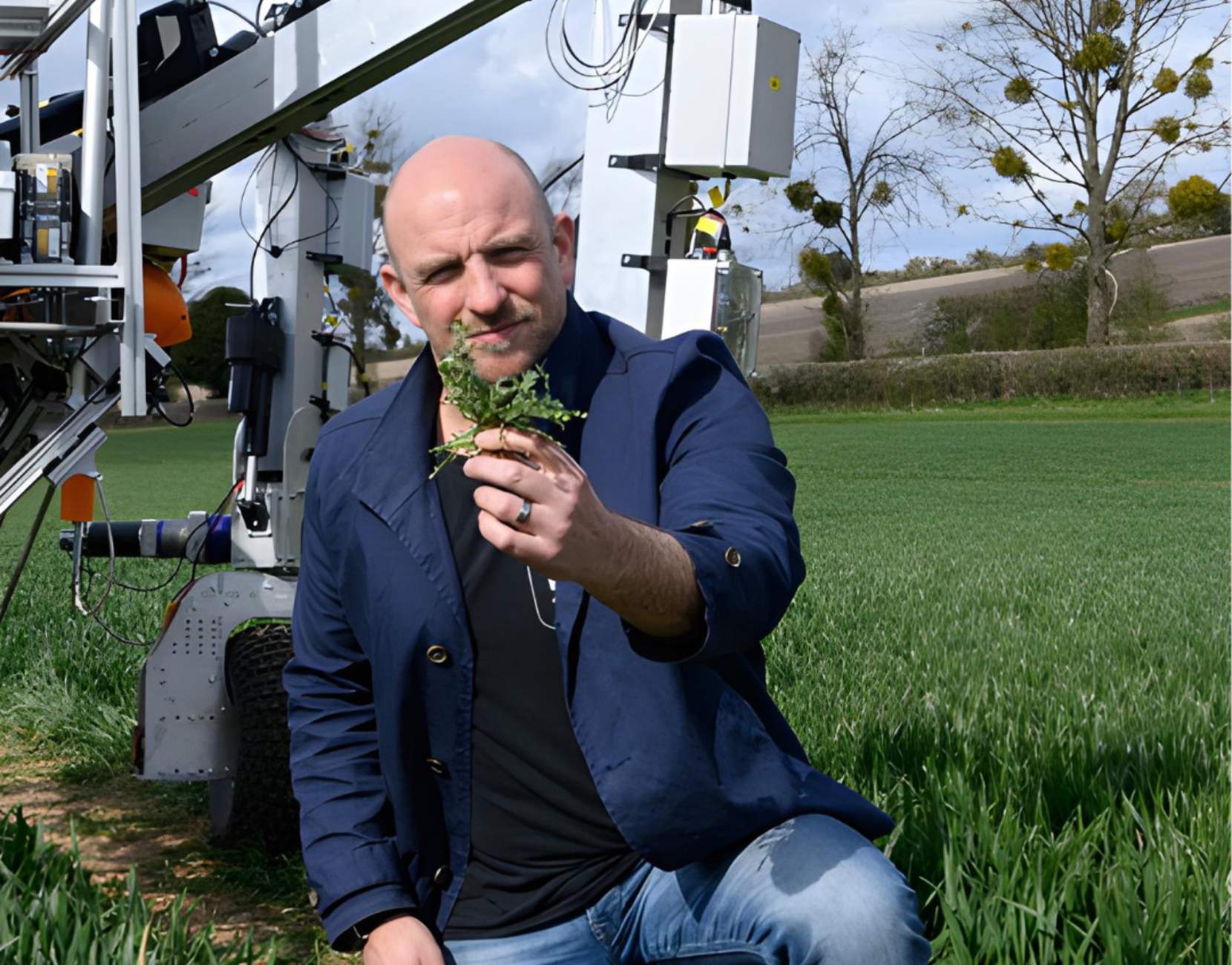
This is the culmination of precision agriculture, believes Ben Scott-Robinson, partner at Moss & Gund and former CEO of the Small Robot Company.
“At the Small Robot Company, we were using robotics and AI to develop a per-plant farming system,” he says. “The hypothesis behind that was if you understand each plant, then you can truly get a grip on what is happening in the field, in particular, how you provide nutrients for those crops and control weeds.”
Taking this one step further is the idea of universal resource numbers. Ben says these are used in navigation to define the context and meaning of a given location. In agriculture, this would mean building up layers of information on a given field location.
“When you have all these layers in place, then you can really understand the potential of a field and how to maximise it without relying on what is happening in the field right now,” explains Ben.
With navigation technologies underpinning all current and future precision farming practices, there is ample opportunity to deploy new technology into the sector. Becky Dodds, Director of Communities at Agri-TechE, explains how one of their functions is to help technology developers access the agricultural sector.
“Research institutions and tech companies are able to join the Agri-TechE community for a full range of member benefits,” says Becky. “There are a lot of funding opportunities around at the moment – for example, there is a programme called ADOPT that tests new technologies on farms. We can support members through making connections and helping build their consortium.”
Agri-TechE also runs a full-day programme, Introduction to Agri-Tech, specifically designed for people interested in or new to agriculture, which has run since 2019. This is being held on May 20th, at Agrii’s Throw’s Farm Technology Centre in Essex.
Post Overview
Related Posts
3D printing trends in Agritech

Nano Electronic Services: Thinking differently about electronics manufacturing
Iceni Diagnostics appoints BBI to produce its Covid-19/Influenza test

Space the final frontier for agri-tech

Could digestate save you £110 per hectare on fertiliser inputs?