Drone technology to revolutionise remote monitoring
The UK is at the forefront of drone technology and the East of England is home to a world class hi-tech engineering sector and innovative farming techniques. We are uniquely positioned to exploit the major impact that drones will have on the global agricultural marketplace, says Peter Lee, a senior lawyer at Taylor Vinters in Cambridge.
Mr Lee, who heads up Taylor Vinters specialist unmanned systems practice, says that despite some regulatory constraints around flying that farmers can use smaller drones in most countries in Europe and he is predicting a sharp uptake in usage over the next 24 months.
Taylor Vinters has been working with Cambridge-based strategy company Qi3 to assess the agricultural market for drones. Industry estimates predict it will be worth $30bn over the next decade with applications in precision farming, monitoring and land use inspection.
Japan already uses unmanned helicopters extensively for spraying and fertiliser application and Mr Lee believes that sensors located on drones can fill the gap between walking the fields and satellite imaging.
He continues: “Satellites have been used extensively by the European Union in recent years for land use assessments, but in some areas these are inaccurate, for example where shadows are cast by mountains or in areas of thick cloud cover. In Spain, the government has been using drones to inspect small holdings with mixed crops and have the advantage they can fly low and take images from various angles.
“This approach is likely to become more widely adopted as it is cost-effective and provides more information than is available from satellites or a ground-based inspection. To assist this there are moves towards a co-ordinated European approach to drones, for example the Remotely Piloted Air Systems Roadmap, that will assist integration with European air systems from 2016 and includes data issues.”
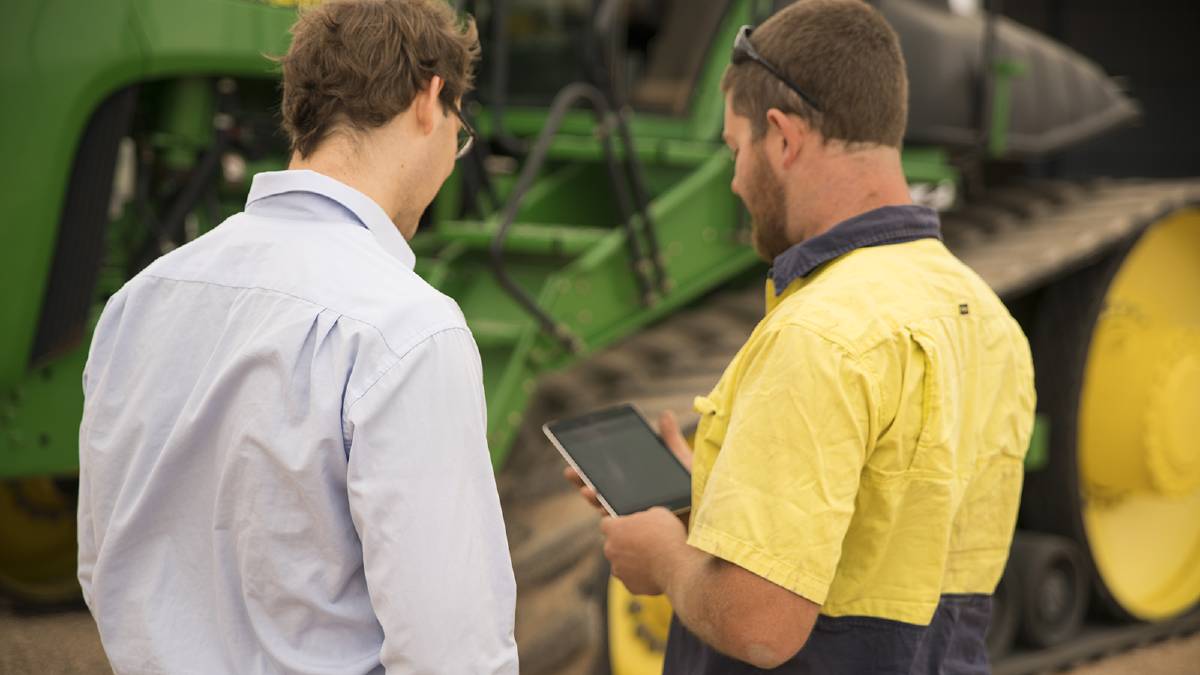
Belinda Clarke, director of Agri-Tech, says that drones are being used to monitor field trials and there is increasing interest in collating other data.
“We are seeing interest in automating the collection of data to assist on-farm decision-making. Many of the fungicides, for example, need to be applied within tight timescales under exacting environmental conditions to ensure that it penetrates the foliage and is not washed off. There is an opportunity for drones to monitor conditions at a field level and this accuracy can reduce wastage and allow precision application.”
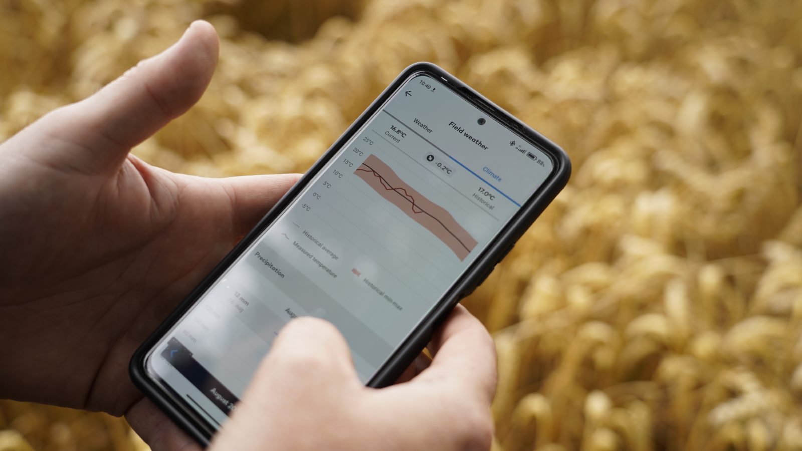
Mr Lee agrees: “Our analysis has shown data can be collected for meteorology, such as atmospheric profiles, water content and ozone levels, for soil conditions including moisture, temperature and mineral content and for assessment of ground cover. This provides the basis for a new degree of decision support.
“Data collected by farmers can be valuable and a coherent strategy is required for managing and exploiting rights relating to data. We see the potential for this to underpin new services within this exciting sector.”
Post Overview
Related Posts

From Efficiency to Innovation: The Role of Achiever LIMS in Modern Agritech Laboratories
Smart farming technology to tackle black-grass problem
Increasing profit margins with precision livestock
More predictive, less reactive – Making Sense of Agriculture at REAP
#ATW21 Thursday: RNAA identifying golden days