Opening the DEFRA treasure trove will create opportunities for new types of applications

3D visualisations of landscapes, real time data on water quality and levels, market data on stocks of cereals held on farms and usage of cereals by maltsters – are just some of the diversity of data to be made available by DEFRA in June. We will investigate how value can be extracted from this bonanza at a special SIG meeting in March.
DEFRA’s transition to becoming a department that’s ‘open by default’ will unlock a treasure trove of data with agricultural potential. To investigate this further we have invited Ellen Broad, Expert Adviser to the Secretary of State, to talk to us about what data will be available and how if can be used by the agri-tech community.
Ellen says:”Over the course of this next six months, DEFRA be releasing more data to do with things like groundwater and waterways, erosion, animal movements and plants, all of which could have exciting potential. Because all of these datasets are openly licensed, they’re free for agricultural companies to access, use and share for their own purposes.”
Last year the Environment Agency went through a similar process and it released data collected by one of the most advanced visualising systems.
Light detection data used by national parks and gamers
For the past 17 years The Environment Agency has been capturing LIDAR (Light Detection & Ranging) data in England. LIDAR uses a laser to scan and map the landscape from above and is widely considered to be the best method for collecting very dense and accurate elevation data across the landscape.
LIDAR data has been used to help the work of the Environment Agency, creating flood models, assessing coastal change and analyse how land is used.
Ellen comments: “Already we’ve seen the release of key datasets like the Lidar 3D height data being picked up and used for a range of external purposes, by national parks, urban planners, agricultural data companies, archaeologists, even gamers!”
This shows the range of potential applications for this data.
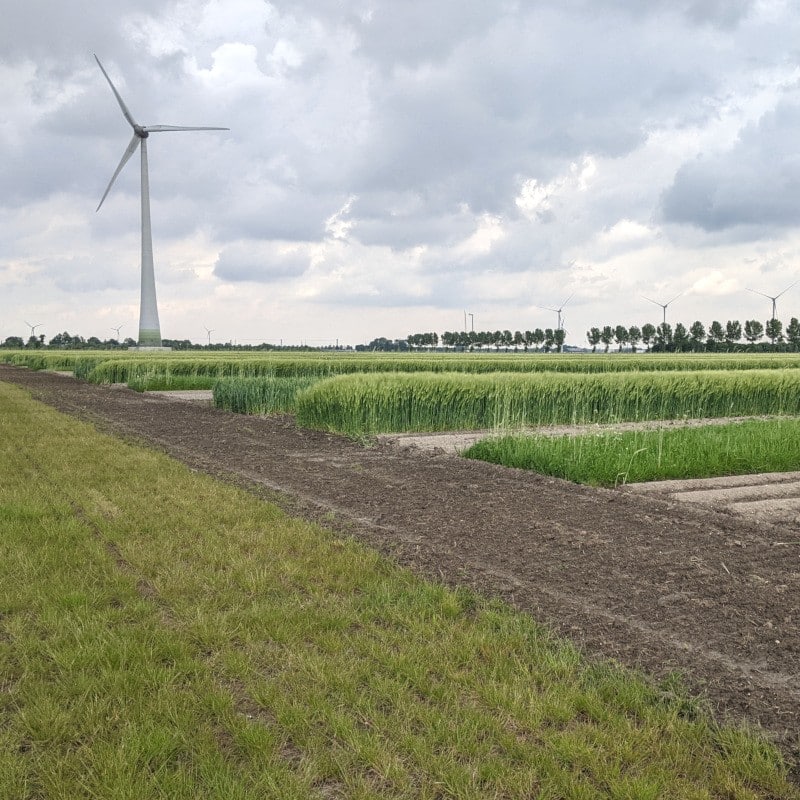
Other European countries have already released data and we have a case-study from the Netherlands explaining how geo-positioned land parcels have been used to give fields a ‘post-code’ and allow information about cropping, soil types, average NDVI values to be attributed to a field and analysed.
SIG meeting
Bringing together the interests of our Big Data and Remote Sensing and Monitoring SIGs, this event is aimed at farmers, agronomists, agri-data companies and others developing agri-business support tools, so that we can collectively explore and understand the implications of “DEFRA’s Data – Opening Up the Treasure Trove”. The meeting will be held at Rothamsted Research on 9th March 10.30-15.00 – click here to learn more.
Post Overview
Related Posts
Innovation opportunities in agri-tech
Agri-tech: Adding value to the food chain
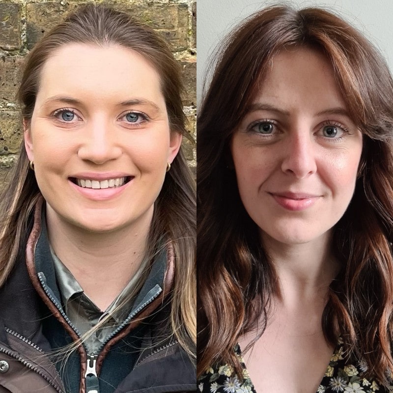
We welcome Erica and Allie to the team
Agri-TechE Week 2021 round-up
Shared goals for agri-tech evident at Wageningen