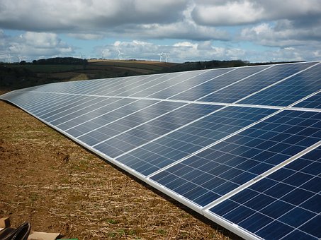
Agri-tech Gravity Challenge focusses on use of satellite data for Net Zero metrics
Earth observation data could potentially be used to assess carbon capture and habitat change. How this could be achieved is the question posed by Agr-TechE and Agrimetrics with Deloitte as part of Gravity Challenge 02. Gravity 02, is Australia’s premier space technology innovation program and this is the first year that UK organisations have participated.
There are 13 challenges each targeting an issue of international importance. The idea is that innovators will work with the proposers to develop solutions that utilise earth observation and satellite imaging data obtained by the NASA and ESA operated satellites, Landsat-8 and Sentinel-2.
Gravity 02 is facilitating access to satellite data, supporting its usage and offering the chance to work with potential end-users. Agri-TechE together with Agrimetrics has defined one of the challenges:
To identify new ways that satellite, positioning and communication technologies can enable farmers to measure and verify sustainability metrics such as carbon and habitat change.
Net Zero metrics priority for Agri-TechE , Agrimetrics and Deloitte
Becky Dodds, Events Manager for Agri-TechE comments:
“The global community has an ambitious goal to reduce the production of greenhouse gas emissions and agriculture will play an important role in this. However, there are few baseline assessments available of current carbon capture. The type of land use is an important factor and habitat change can influence the storage or release of carbon.
“As part of our challenge we are asking the innovators to explore these questions and propose ways that earth observation data can be used to provide metrics for measuring progress against the Net Zero goals.”
Presentation by Agri-TechE ‘s Becky Dodds for Gravity
The innovators for the Agri-TechE /Agrimetrics challenge are tackling the questions from different perspectives.
Super-Sharp Space Systems (S4), which is working with the University of Cambridge to improve the resolution of earth observation data. It has developed a tiny, unfolding space telescope with a 50 cm aperture. Using its unique self-alignment technology the telescope is able to position its optics to better than a ten millionth of a metre enabling high resolution images at a fraction of the cost of existing technology.
Deep Planet is based at the STFC Rutherford Appleton Laboratory, Oxford. It is using machine learning and satellite data to provide, for example, smart irrigation systems of vineyards. Its AI-powered technology, VineSignal, analyses data from satellite imagery, soil sensors, weather stations, irrigation systems and other proprietary sources to map actual and predicted soil moisture readings at every point across the vineyard.
These two organisation have been selected to go through to the Accelerate phase where they will work with Agrimetrics, Agri-TechE and Deloitte to develop a response to the challenge. Agrimetrics will supply access to its datasets which can be combined with the earth observation data that is being made available through Gravity 02. The winner of this stage will go through to develop a pilot with support to commercialise the solution.
Grand challenges: innovative solutions
Gravity 02 is an innovation program that is encouraging the development of novel applications for satellite data and space sector technology. It is moving to the next level following the selection of 26 innovators. Challenges include:
Aquaculture Stewardship Council – How can we remotely automate the identification of shrimp ponds within a farm boundary, and categorise their production and quality status?
UK Hydrographic Office – Is it possible to develop an elevation model of the coastal marine environment, depicting ‘change over time’, using machine analysis of satellite imagery? Agri-TechE member Mantle Labs is participating in this challenge.
UK Hydrographic Office – How can we create a way for local and national authorities to track coverage and carbon storage of mangroves and seagrass, to verify their health status and open the door for carbon trading?
Bardsley England (fruit farm) – How does one remotely measure and monitor carbon accurately?
Bardsley England – How can we bridge the link between regional weather measures (and forecasts) and local microclimates – starting with agricultural orchard systems? Agri-TechE member Weather Logistics has been selected as an innovator for this challenge.
The winners of Gravity Challenge 02 will be announced on 24 November 2020.
More information about Gravity Challenge 02.
Post Overview
Related Posts
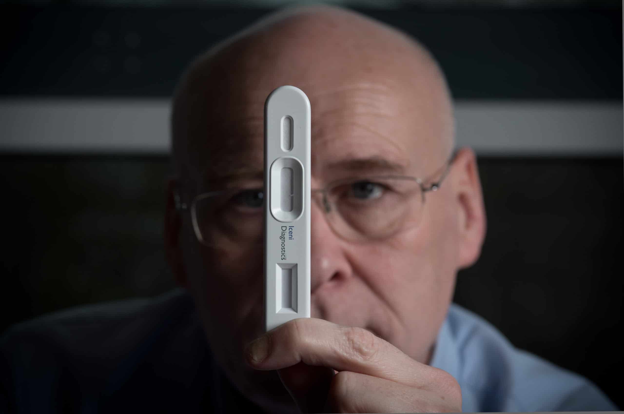
Iceni Diagnostics offers new approach to detection of COVID-19
A trip to the Tees Valley HQ
Crop17 to support development of medical cannabis
3D printing trends in Agritech

Innovative Farmers digestate trial – update